Monday, August 11, 2014

On Shetland Archipelago


Shetland Islands are the northernmost  isles  in UK - as far north as Oslo and southern tip of Greenland. Because of it's remoteness, the Islands lie behind main tourist routes.
However , this is truly a fascinating place and draws visitors keen on discovering local culture , learning about reach history of this region and for watching wildlife. Or just to enjoy the peaceful side of this Europe's corner .


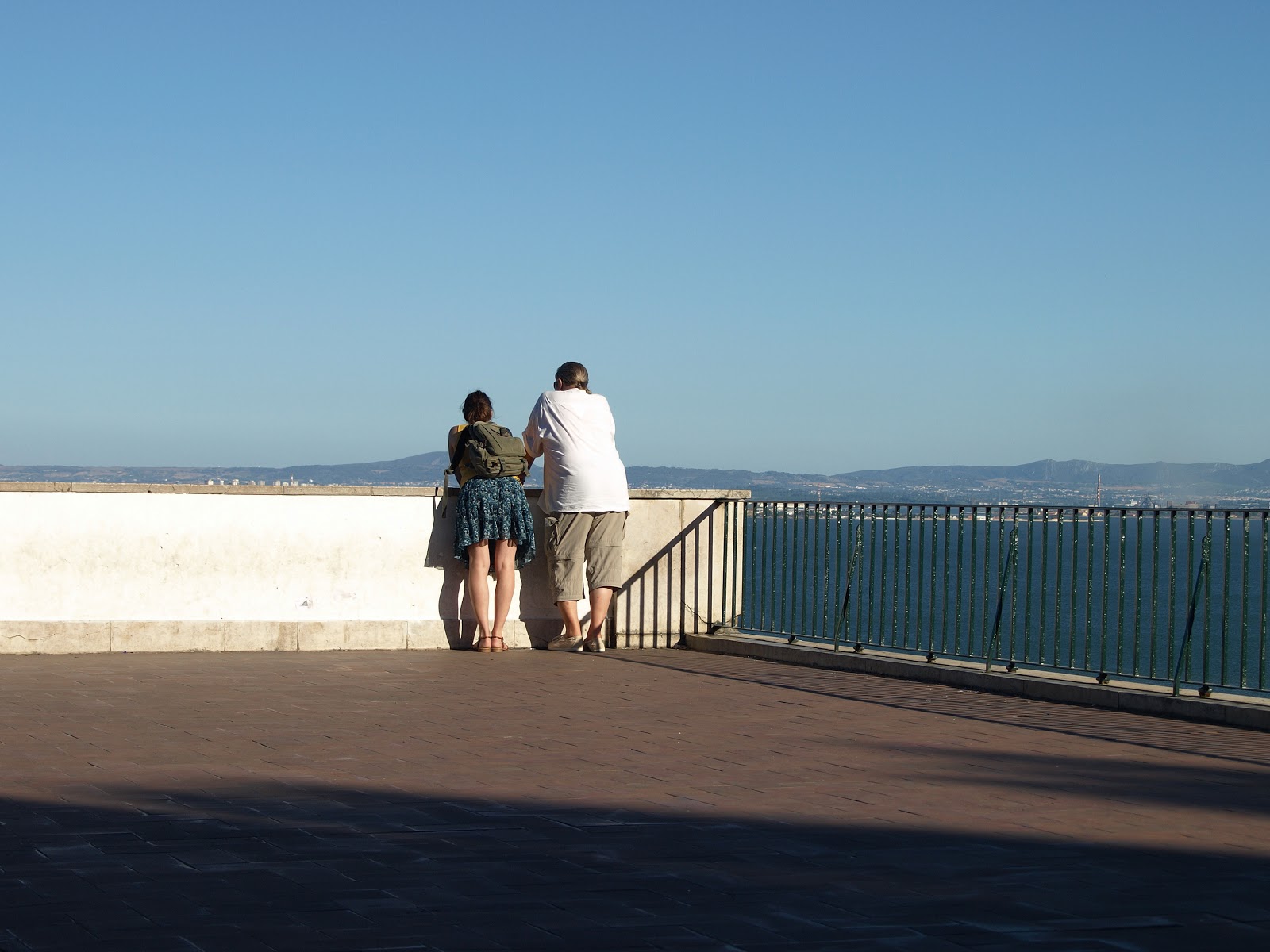
Lighthouse on Bressay Island .


For most visitors the starting point on Shetland Islands is Lerwick -the capital town on largest island ( Mainland ). The ferry boat connects the town with Orkney Islands and Aberdeen . The town due to its central position on archipelago is a great base for tourists wanting to explore all corners .


Lerwick's harbour


The Islands for five centuries was strictly tied with Scandinavian Kingdoms - Norway and later Denmark .The Vikings started the colonisation of Shetland ( along with Orkney ) in 9th century , and  there are traces of Norse language dialect spoken today .
Replica of a viking longboat at Lerwick's harbour  


Stone with Scandinavian runs in Shetlands Museum in Lerwick


Lerwick became an important  in 17th century as the Dutch fishing fleet set up their temporary base , during summer 10 000 people could live in this settlement . Later the British built a fort overlooking the harbour to keep control over Lerwick during British - Dutch war .
Unfortunately , the first fort was destroyed by Dutchmen in 1673 and the fort was rebuilt a century later as Fort Charlotte . The old town grew around the Fort , the town became Shetland's capital in 19th century . Nowadays, the old parts around harbour are nicely renovated , what makes a nice walk along pretty Commercial Street and the  waterfront .


                                                  Fort Charlotte      


On the second day I moved south to
Sandwick ,  where I was going to get on a boat and explore  small Mousa Island . I had to wait long for the boat to come  (on Monday at 13.00 from Leebitton),so I walked to Hoswick , a nearby village.
In the local visitor centre I learnt that Hoswick , a bustling fishing village in 19 th. century , had been a place of massive whale's killing . Flocks of small  whales were drawn by people in boats to the shallow bay in Hoswick . It all reminded me of the way , the people of Faeroe Islands kill Pilot's Whales in modern days . The exhibition shows the archive photographs of that time and tells the story how fishermen won the legal battle in 1889 over local landlord , who claimed a third value of captured whales .


Leebitton , where ferry boat leaves to Mousa . 


Mousa is a popular visiting place on Shetlands , due to Mousa Broch and RSPB nature reserve , which attracts bird watchers . I went there mainly to see the Broch , which is the best preserved Iron Tower in Scotland . There are 120 remains of this ancient buildings on Shetland but this one is really impressive . These towers built over 2000 years ago using no mortar , were probably  constructed either as a watch towers and a living place . The spiral staircase inside leads to the top of the Broch , which is 13 metres high . Some people come to Broch at dusk , to watch Storm Petrels coming back from the sea to their nests hidden in the Broch .

In the reserve  I could watch indeed rare species of nesting seabirds - Great Skuas, Shags , Fulmars , Great Skuas and Arctic Terns. I have especially remembered the encounter with Arctic Terns -these little birds were attacking me ferociously, diving toward my head from different directions .They could be really nasty during nesting season.                                                       


Fulmars nesting on cliffs 


The next day and the next twist ; I set out early morning toward the "wild north " of Shetland , to northern isles . On the bus and taking two ferries  (across the second large island , Yell ) I got to the most northerly  isle , Unst . I was lucky , as I found a room for a night in the hostel in Haroldswick .


The village of Uyeasound , Unst .


Herma Ness , the northernmost tip of land of the British 
Islands , is a heaven for numbers of seabirds ; large colonies of different birds are found on sea cliffs . Main attractions for tourist are puffins - these little , cute birds are marvelous. They catch a small sand eels in the sea and feed their chicks hidden in deep burrows . Sitting on the edge of the cliff and watching these funny birds, made me feel  extraordinary - like being David Attenborough sent on mission to the remote part of the world .


     Puffin in Herma Ness nature reserve                                                                                                                     
                                                       
 Gannets gathers before taking off to their nests , which are build on inaccessible rocky outcrops .
                                                 
Collection of small rocky islets , called Muckla Fugga , comes to view at Herma Ness. Beyond towards north , only vast expanses of the North Atlantic . This is also one of the most often photographed sights on Shetland Islands . The white lighthouse on the top was build in 1857-58 by father of famous writer , Thomas Stevenson . Looking at the lighthouse and misty ocean behind , you may think this is really the gate to the end of the World.


 I found more idyllic scenery in the south Unst , having moved to Uyeasound the next day .This beach on the picture above is called Sandwick and when the Sun appeared suddenly , the view was breathtaking .If there were palm trees growing around , the beach would look like serene spot from Caribbean Islands . If if ... after a while the shroud of clouds was back again .

 An hour walk from Uyeasound I enjoyed another peaceful spot , a beach in Lund . The ruins of St. Olaf's
 Church overlooking the beach from the cliff, adds to the magic ambience of the place .


I returned  to Lerwick on the last day of my stay in Shetland - I had limited time . I came back on early morning bus from Unst , so I had enough time to make a short trip to Scalloway , on west coast . It used to be a Shetland's capital in the past , and it is the second largest settlement of the Archipelago.                                                                                                                                                                               Scalloway turned out to be pleasant place , developed around a deep bay with neat streets  and with some trees ( trees are almost nonexistent on Shetland Islands ).


Scalloway is known for its tribute during World War II ;
so called " Shetland Bus " operation was being carried out between 1942 - 1943 . The local fishing boats were bringing secretly people and supplies between Shetland and Norway under Nazi's occupied Norway . There is a small memorial on the waterfront , commemorating lost lives during the operation .

However, the most interesting facts I found in Scalloway Castle , which is actually a large tower house . Built by Earl Patrick Stewart in 1600 , represents the tyranny of the Stewart family after annexation of Islands by the Kingdom of Scotland. Patrick Stewart was executed in 1615 as a result of his brutal and repeating actions against his local rivals .His son Robert shared his father's fate. Interestingly Robert Stewart, who on behalf of his imprisoned father started a rebellion (to subdue their local rivals) , kept old Norse customs in use.Not in line with the Scottish Crown , though .


Whenever I see Shetland Ponies ( cute beasts they are) , it will remind me of Orkney . Maybe I will return there one day .


Tuesday, April 2, 2013

PILLARS of HERCULES

 "The Pillars of Hercules" -  the point where continents of Africa and Europe meets , nearly melting together . Just two points on edges of continents , where the Gibraltar Strait is narrowest . The name derives , of course , from the Greek Mythology . Well known   mythical hero , according to ancient Greeks , made a channel between continents by pushing them apart .Or  according to another Greek historian Siculus , Hercules narrowed existing strait to keep off sea monsters from Atlantic Ocean .    

Monday, November 12, 2012

Ben Vrackie - a magic Corbett

Ben Vrackie is stated as a  Corbett Hill  (2759 ft - 841m ) , what means  classified in Scotland as a mountain below 3000 feet . Nonetheless , this is a peak which is worth climbing for its location over Pitlochry and the route to the top is intresting and well maintained , as all paths around Pitlochry are in good condition .
This is a 4 hrs walk  up and down , pretty moderate . The only difficulty seems to be the final ascent above Loch a Coire , which is steep and it took me 40 min to get the summit . Not so bad , considering the fact that a path over the Loch was covered with snow .


On the first saturday of November , it was a perfect day for hillwalking , so I was glad I had decided to come there . Warm and windless day , anyway in Pitlochry the weather conditions were ideal , with sunshine over the Autumn landscape .


In Pitlochry I got off the bus from Edinburgh at 'Fisher's' Hotel and immediately followed the little stream Moulin Burn , as it was the shortest way to get on Ben Vrackie path . There was beginning of walking paths down the main street , but following the stream was a quicker option .  On the way I passed by the Craigvrack Hotel and still following the stream I reached Moulin Village . 


In Moulin I found  the proper path to Ben Vrackie , just behind the Moulin Hotel . A bit before the hotel stood the Moulin Kirk , surronded by an old parish cemetery . There is the Moulin and Pitlochry Heritage Centre inside the church , but unfortunately I didn't have enough time to stop there. Nowadays a village on the edge of Pitlochry , once in ancient times Moulin was a Pictish capital and later the Royal Burgh , now is overshadowed by Pitlochry .


Passing by the old Moulin Brewery I followed the asphalt road as signs indicated and soon I got to a large fenced field , with a monolithic stone sticking out of the ground , called ' Dane's Stone ' . At that point the path led me up the hill , all the time along the stream , and after a couple of minutes I reached the edge of the wood . There is a car park for motorized walkers and the trail goes further on through a dense forest , but the path was very convenience to walk .


After emerging out of the forest , which took me no more than 20 minutes , I found myself on the vast moorland and the snowy peak of Ben Vrackie stood out in the background . It seemed to be very distant to reach .


At the point where the path was splitting up , the view down the slopes was fabulous , with River Tummel and Pilochry furher down .The Autumn was in full swing .
After a short break , I left the Bealach Path which turned left to Killiecrankie and continued climbing up toward Ben Vrackie.


After I left the wooden gate behind, the scenery  started to change , the higher I advanced the more snow around me was .


At last I walked on the layer of snow and the massif of Ben Vrackie emerged much bigger .


After no more then 50 minutes I reached Loch a' Coire , upland lake nicely stretched between slopes of Ben Vrackie and Meall na Aodainn Moire. Despite a thin layer of snow around , it was still warm and no wind , people descending down whom I passed by were glad too . But the slopes where I was heading to , looked more snowy . One man told me that's only 40 min to ascent the top - just be careful - he remarked . But I would be a bit surprised later on , however .

Loch a' Coire from the north bank ,where the path steeply started to climb the rocky walls of Ben Vrackie .


The higher I climbed the colder it got , and somewhere at the half of the slope I entered a blizzard , the visibility was very poor . From sunshine and autumn heater moorland I got into the arctic landscape , nearly . I was afraid that  I was going to be blown off the top in these conditions. The last hikers I passed by, seemed to confirm my fear , as they were struggling down and hoped to get quickly back to more bearable weather .


And after getting the very top ( it took me 40 minutes indeed ) I was surprised again . The sunshine sneaked through the clouds and the peak looked brightly , the snow was sparkling in the sharp light . Although it was really cold , the wind stopped .But there was no chance for views from the top .  As I looked around , I could only see white mist and blizzard . Anyway , I had to hurry up to catch the bus , down in Pitlochry . Having taken a couple of pictures ( mainly snow ) , I hit the road back to civilization .

 When I  finally  descended enough below the line of stormy clouds , I could see the larger panorama stretching over and far away the Loch a' Coire .

As I got to the Loch , the way back was an easy cake again . Only when I turned back I could remained to myself that a bit earlier I had experienced a different climate zone .
Ben Vrackie in full glory again .....


.....and back on the way to Moulin .

I got to Pitlochry well before the arrival of my bus , so I had some time to look around . The resort at a peak of tourist season  is a bustling place, but now it wasn't too busy . There were still some visitors  strolling the main High Street , but after the weekend the town certainly will be quiet .                                               

I stood by a noticeboard and it seemed that during the summer there were many interesting events in the area , like music concerts in Pitlochry's amphiteatre . Now the only intresting thing I noticed was an advert " Squirrel alert " . The autors of this allert pointed out that the gray squirrels ,  a serious danger to the population of the native red squirrel , had been spotted in the area . So in order to stop the invasion of aggressive gray squirrels , everybody who had noticed this animal , was asked to give precise details  on a special website .
Sadly , that is true , in the south  Scotland the grey species has pushed the red one away . At last aggressors have got into Highlands too .
Fingers crossed , anyway .

Monday, October 29, 2012

Tram no 28


The famous tram line runs in Lisbon (Lisboa) ,  around Alfama district, which is the oldest part of the city . That was a real  pleasure to take a ride on an old tram wagon . The tram 28 climbs up steep , narrow streets around the castle hill . There are many tram lines in Portuguese capital but this one is the most popular amongst visitors . I would say , the wagons are mainly occupied by tourists . The ride on 28 tram is a must do attraction in Lisbon .


 Wagons are old - fashioned , made of wood and keep running only to attract tourists , I think . Mainly painted yellow . The travel on it is like a travel through the past - the old part of Lisbon travelled on the tram from the distant time .


Alfama itself  is worth exploring too , beautifully located on the hill , descending to the mouth of river Tagus.
The upper part of Alfama surrounds the Castle of Sao Jorge , renovated old medieval castle , with nice views on the city . You can visit the Lisbon Cathedral at the foothill or baroque church of Sao Vicente . In the past Alfama was a core of Muslim settlement in Lisboa , at the times when Iberian Peninsula was under rule of Moors from the North Africa .


Tourists boarding tram 28 at the stop by the old  Lisbon Cathedral


The wagons are crowded , so that's perhaps the reason I didn't see too many locals travelling . That was  a disadvantage maybe , so that the best is to get on somewhere at the beginning of the route and take a seated place by window .

                                                  
Panorama of Alfama , on lef top of the hill seats the Monastery of Sao Vicente de Fora .


The tram was constantly running up and down , taking many turns . And the architecture is very interesting


Another tram 28 which we passed , approaching  Largo das Portas do Sol , the square where once was a gateway to the Moorish city .


Estrela Basilica ( Basilica da Estrela ) from the tram window .
Neoclasiscal church was build in 1790 .


Young tourists roaming the streets


Alfama as the oldest district of Lisbon , is naturally full of narrow , cobbled streets . So in some places trams had a narrow passage between buildings .


While travelling on the tram you could also observe everyday life outside . I have taken the picture of this girl when our tram stood at the stop .


Finally , when you have enough , you can get off and get deep into the labirynt of old small streets of Alfama and listen to Fado in one of many bars or restaurants , or like that pair on the photograph above , just have a look down from the terrace .